Booking choice: The guided summit hike, ★ 4.7 (6,028). Check dates Compare the options below
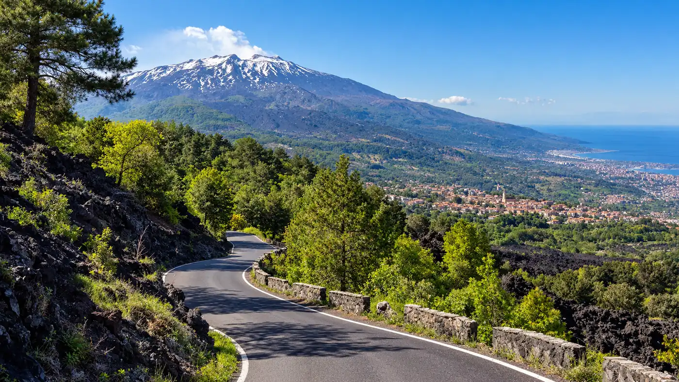
Many visitors assume you need a tour to set foot on Etna. You do not. The lower slopes are crossed by marked trails, crater rims and nature paths that anyone can walk, and several of the best short walks start right next to the car parks.
This guide explains where the limits are on each side of the volcano, how the alert phases close the summit, which rules apply to independent hikers and what a guide adds. For the effort each route takes, see how hard the Etna hikes are.
The quick answer
South side: on your own up to about 2,500 m, the top of the cable car. North side: up to about 2,850 m at Piano delle Concazze. Both only when the alert level allows. Summit zone: authorised Alpine or volcanological guides only, with helmets, up to 10 people per guide. Rules: marked paths, sunrise to sunset, boots, windproof jacket, hat, food, water, phone and torch, no bivouac, at least 300 m from lava fronts. Penalties: ignoring a closure can get you reported to the judicial authorities. Easy walks on your own: the Silvestri craters, Monte Nero degli Zappini, Monti Sartorius. Check on the day: INGV, the civil protection, the guides' offices and Funivia dell'Etna.
Can I hike Mount Etna without a guide?
Yes, on the marked trails below the summit zone: up to about 2,500 m on the south side and about 2,850 m on the north side, when the alert level allows. The summit craters always need an authorised guide.
The limits come from the mayors' ordinances for each slope, which follow the volcano's alert level and the procedures of the regional civil protection. On the south side, the guide-only zone starts at about the height of the upper cable car station. On the north side, the Linguaglossa ordinance lets independent hikers go up to Piano delle Concazze, at about 2,850 m near the volcanological observatory, as long as that area is not closed.
The rules change with the volcano. The ordinances are reissued whenever activity changes, so older articles quote limits of 2,700 or 2,900 m that no longer apply. Treat the figures here as the current picture and check on the day.
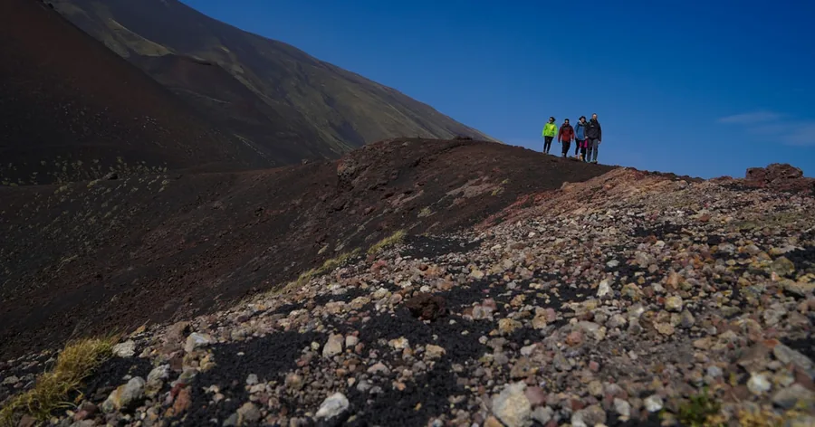
Where does the guide-only summit zone start?
Roughly above 2,500 m on the south side and above about 2,850 m on the north side. Inside it, only authorised Alpine or volcanological guides may lead groups, with helmets and no more than 10 people per guide.
The ordinances call it the summit zone: the summit craters, the upper Valle del Bove and roughly everything above 2,500 m on the south side, plus a safety band around any active lava flow or vent, even lower down. A wider perimeter drawn by INGV around the craters is guide-only even when the volcano is calm. That is why the Torre del Filosofo area near 2,900 m, the Barbagallo craters and the crater rims are reached only on guided treks.
| Where | Without a guide? | Notes |
|---|---|---|
| Silvestri craters, about 1,900 to 2,000 m | Yes | By the Rifugio Sapienza car park, no ticket, 30 to 60 minutes |
| Monte Nero degli Zappini nature trail | Yes | 4 km, about 200 m of ascent, about 2.5 hours |
| Schiena dell'Asino viewpoint | Yes, when open | Over the Valle del Bove; it can close when lava flows into the valley |
| Track behind the cable car to 2,500 m | Yes | About 600 m of steep, loose ash, about 2 hours up |
| Torre del Filosofo area, about 2,900 m | No | Authorised guide only, when the alert phase allows |
| Summit craters, about 3,300 m and higher | No | Guide and helmet, up to 10 people per guide; closed during alerts |
| Monti Sartorius, north-east side | Yes | 4 km loop, about 100 m of ascent, about 2 hours |
| Grotta dei Lamponi, north side | Yes | 13 to 16 km return, 4 to 5.5 hours; bring a torch |
| Piano delle Concazze, about 2,850 m | Yes, when not suspended | The upper limit for independent hikers on the north side |
How do the alert phases close the summit?
When monitoring shows rising activity, the regional civil protection can raise the alert phase and close the summit zone at short notice. Then every summit excursion stops, guided ones included.
Etna is one of the most closely monitored volcanoes in the world. The INGV observatory in Catania runs an automatic alert system for lava fountains, the regional civil protection decides the phase, and the mayors' ordinances turn it into rules on the ground. You do not need to learn the levels: what matters is whether the summit zone is closed today.
It happens in practice. On 13 August 2026 the whole summit zone was closed, with the access points on the south and north slopes manned, and from 24 September the Northeast Crater was emitting ash. The lower trails stay in use in most phases, but the Schiena dell'Asino and paths near fresh lava can close too. Read the notices on the Sicilian civil protection site and the weekly bulletin from INGV Osservatorio Etneo, and see is it safe to hike Etna for the wider picture.
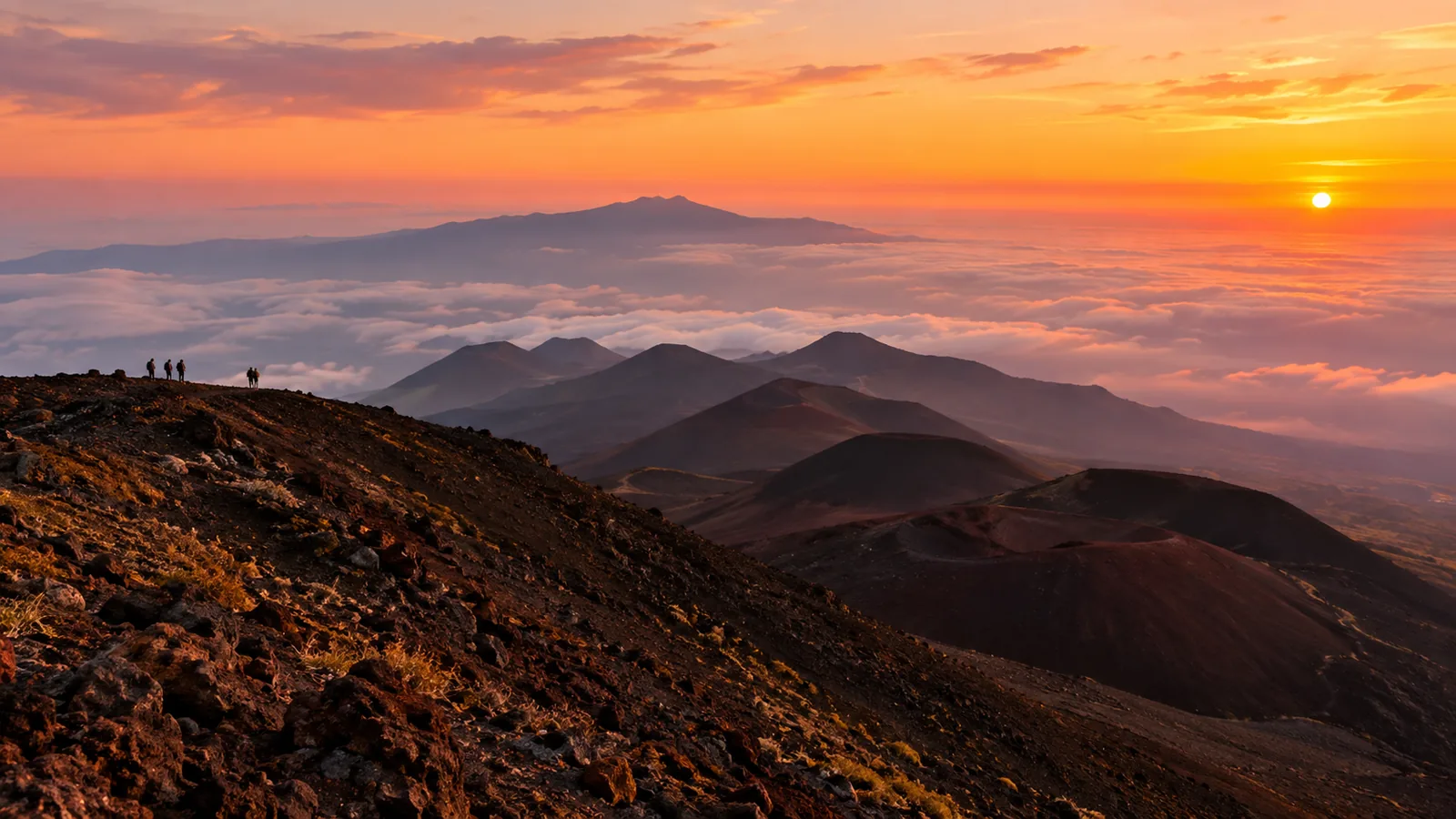
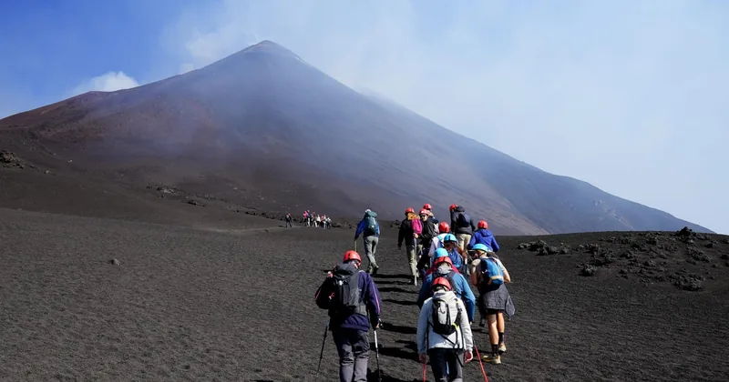
On the days the alert level allows it, a volcanological guide takes you beyond 2,500 m to the 3,000 m craters or towards the summit area, with helmet and insurance.
Check dates for the guided summit hikeWhat rules apply to independent hikers on Etna?
Stay on marked paths, walk only between sunrise and sunset, carry high-altitude gear, do not spend the night on the mountain, and keep at least 300 m from any lava front. People with heart or breathing problems should not go up.
- Marked paths only: no shortcuts across lava fields and no entry into closed areas.
- Daylight: from sunrise to sunset, with no bivouac on the upper slopes.
- Gear from the ordinance: hiking boots, a windproof jacket, a hat, food, water, a charged phone and a torch.
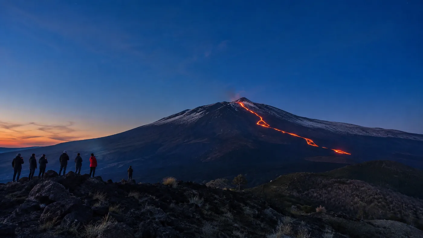
- Distance from lava: at least 300 m from any lava front, because lava meeting snow can explode.
- Health: the ordinances rule out the high trails for anyone with heart or breathing conditions.
- Closures: ignoring them can get you reported to the judicial authorities.
Add plain common sense: tell someone your route, check the mountain weather and turn back if the cloud comes down. The park lists its trails on the Parco dell'Etna website.
What can you do on your own on the south side?
Plenty: the Silvestri craters, the Monte Nero degli Zappini nature trail, the Schiena dell'Asino viewpoint over the Valle del Bove when it is open, and the long walk up behind the cable car to 2,500 m.
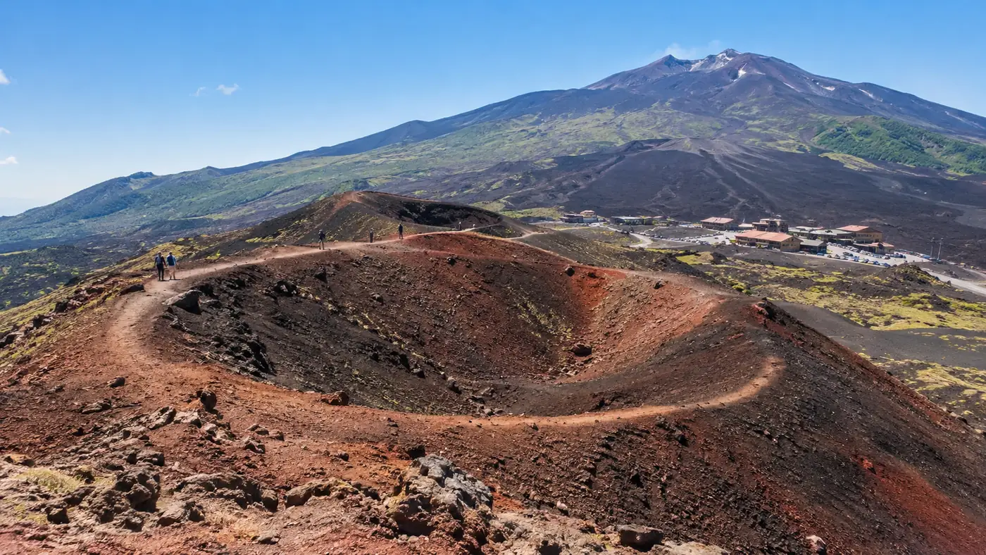
The Silvestri craters are the easy start: two cones from the 1892 eruption right by the Rifugio Sapienza car park, with a rim walk of about 30 minutes, or 45 to 60 for both. The Monte Nero degli Zappini trail, opened in 1991 as the first nature trail in Sicily, runs for 4 km with about 200 m of ascent through pines and lava, in about 2.5 hours. The Schiena dell'Asino path starts near 1,850 m on the road towards Zafferana Etnea and takes 2 to 3 hours there and back to a balcony over the Valle del Bove. Its first part is steep, and it can close when lava runs in the valley.
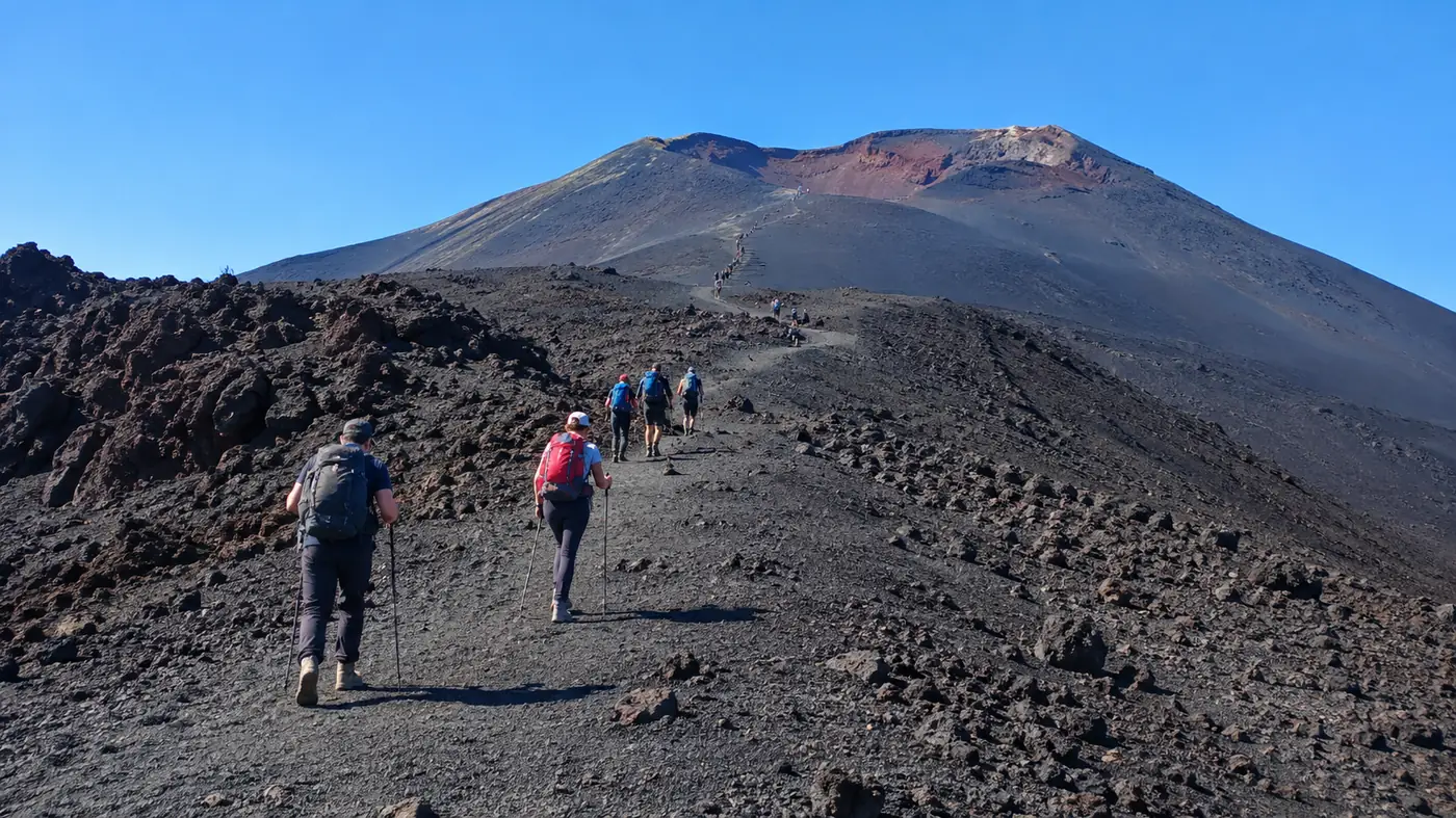
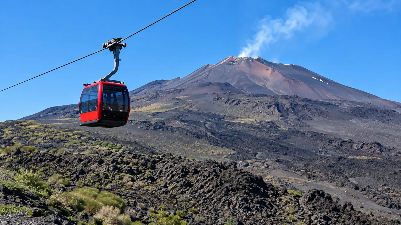
Fit walkers can also go on foot from Rifugio Sapienza to the upper cable car station at 2,500 m: about 600 m of ascent on a steep track of loose ash, roughly 2 hours up. Above the station you reach the edge of the guide-only zone, and the cable car can take you down. The cable car guide explains the tickets.
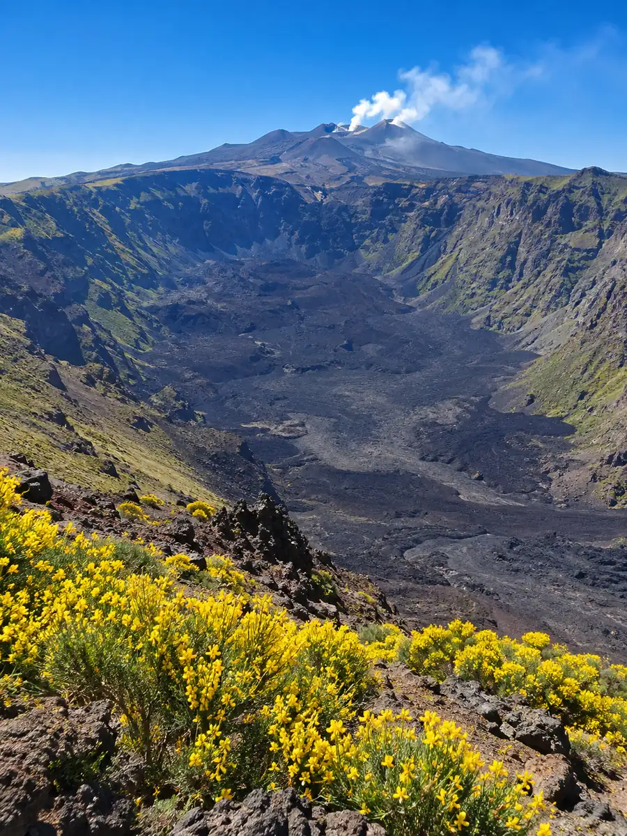
What can you do on your own on the north side?
From Piano Provenzana and the Mareneve road you can walk the Monti Sartorius loop, hike to the Grotta dei Lamponi lava tube and, when the north summit area is not closed, go up as far as Piano delle Concazze at about 2,850 m.
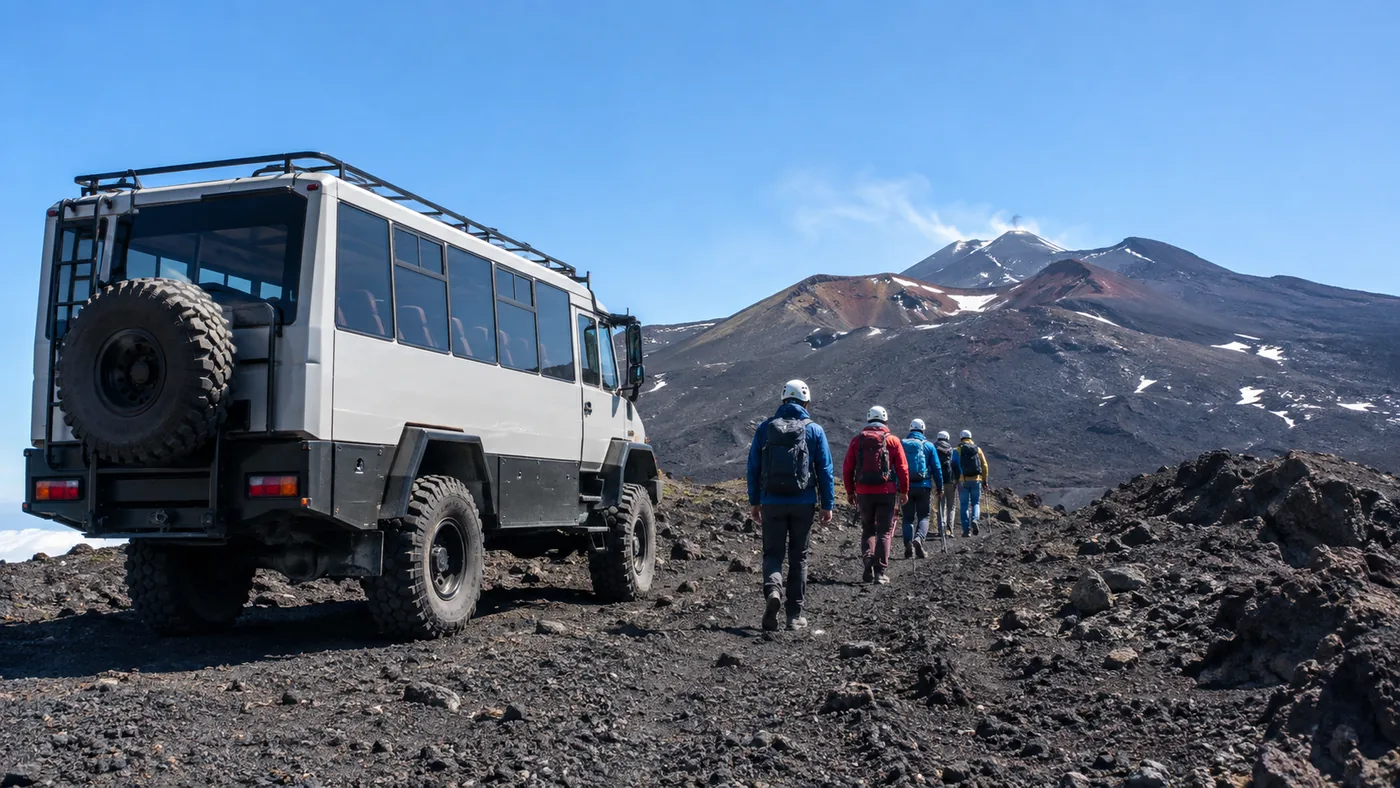
The Monti Sartorius nature trail starts near Rifugio Citelli at about 1,660 m: a 4 km loop with about 100 m of ascent among birch woods and the cones of the 1865 eruption, about 2 hours. The Grotta dei Lamponi is a lava tube about 700 m long, reached along the Pista Altomontana in 4 to 5.5 hours there and back; bring a torch. Going up from Piano Provenzana to Piano delle Concazze on foot is a long, steep day at altitude, and most people let a 4x4 bus cover that part.
The Etna North upper craters tour by 4x4 (4.6 from 419 reviews) takes 2.5 hours from Piano Provenzana, with short walks at the Umberto and Margherita craters and near the Pizzi Deneri observatory at 2,818 m. Beyond Piano delle Concazze, the summit trek from Etna North needs an authorised guide.
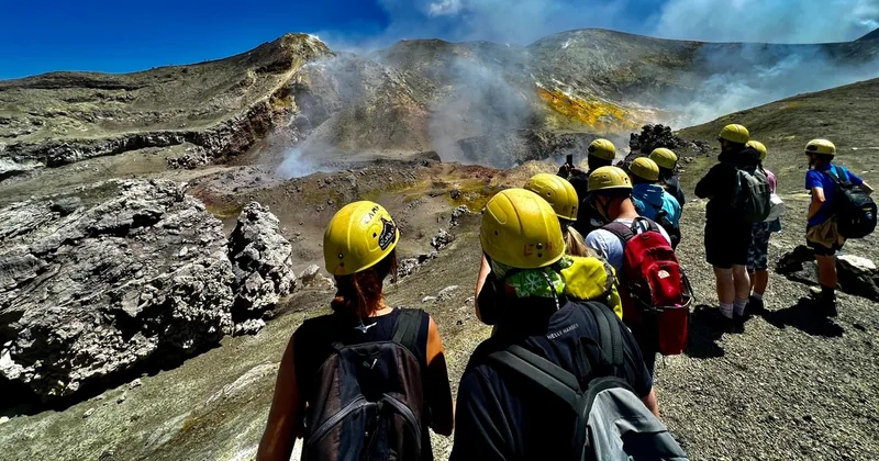
The wilder north face with an authorised guide: off-road 4x4 to about 2,900 m, the summit area on foot when the volcano allows, and a descent through sand gullies to Pizzi Deneri. 4x4 ticket paid on the spot. Rated 4.9 from 591 reviews.
Explore the summit trek from Etna NorthWhat does a guide add on Etna?
Access above about 2,500 m, a route chosen for the day's conditions, a helmet and insurance, and someone who reads the volcano. On the lower trails a guide is optional, but many hikers find it doubles what they understand.
Authorised Alpine and volcanological guides are the only people allowed to take groups into the summit zone, and they know each morning what the ordinances and INGV allow. They choose the route, set a pace for the thin air, keep the group upwind of gas and away from loose edges, and turn round when needed. On the lower slopes, a naturalist guide shows you the 2001 lava flow, the lava caves and the plants that settle on young rock.
If you want the high craters without organising tickets yourself, the cable car, 4x4 bus and guide package from Catania has the lift tickets already included; its rating, 4.3 from 1,823 reviews, is the lowest on this site. The flagship summit hike lends gear and lets you choose between the 3,000 m trek and the summit trek. The differences are set out in Etna tours compared.
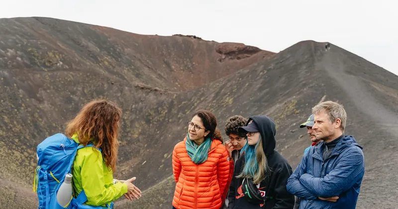
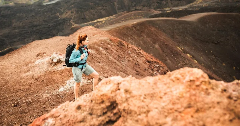
A real hike without lifts or crowds, with a naturalist guide and transfer from Catania: the Silvestri craters, the 2001 lava flow and about 550 m of ascent.
Check dates for the trek beyond the tourist trailsHow do you check conditions before you go?
Look at the INGV weekly bulletin and the civil protection notices the evening before, ask the guides' offices or Funivia dell'Etna in the morning, and check the mountain weather. If an area is closed, it is closed for everyone.
Conditions change quickly on Etna. The guides' offices at Rifugio Sapienza and Piano Provenzana know the day's limits, and Funivia dell'Etna shows whether the cable car is running. Wind, low cloud and snow matter as much as the volcano: from November to April the upper slopes are usually under snow, and a sunny trail can turn grey and cold within an hour.
Go early, tell someone your plan and carry warm layers even on a hot day at the coast. How to reach the trailheads by car or by the single daily AST bus is in getting to Etna from Catania.
Frequently asked questions
How high can you go on Etna without a guide?
About 2,500 m on the south side and about 2,850 m on the north side, when the alert level allows. Above that, the summit zone needs an authorised guide.
Do you need a ticket for the Silvestri craters?
No. The Silvestri craters next to Rifugio Sapienza need no ticket and are open to everyone in daylight.
Can you hike to the summit craters of Etna alone?
No. The summit craters are inside the guide-only zone, and even guided groups stop when the civil protection raises the alert.
What happens if you ignore a closure on Etna?
You can be reported to the judicial authorities. Access points are manned during closures, and the rules apply to guides and independent hikers alike.
Ready to book
Choose your hike
Check your date and the live price on GetYourGuide; the refund terms are shown on each option.
Etna Guided Summit Hike up to 3,400 m
- A certified volcanological guide
- Choose the 3,000 m trek or the summit trek
- Helmet, insurance and hiking gear if available
Etna Trek Beyond the Tourist Trails
- A naturalist guide and transfer from Catania
- About 550 m of ascent, up to roughly 2,400 m
- The Silvestri craters and the 2001 lava flow
Summit Trek from Etna North
The quieter north face: off-road 4x4 to 2,900 m, the summit area on foot, Pizzi Deneri on the way down; 4x4 ticket extra